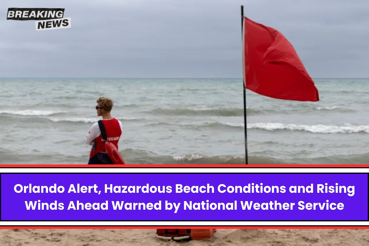
People who live or visit Orlando should be careful because “dangerous surf and poor to hazardous boating conditions continue today and into this weekend.”
National Weather Service Melbourne, FL says that the agency has warned people about the high risk of rip currents and told them to stay out of the water to avoid these dangers.
The National Weather Service talked about the weather prospects early this morning and included a prediction of minor to moderate coastal flooding.
During the weekend, it is likely to get worse during the morning high tides, especially on Saturday morning. The Coastal Flood Advisory will probably last until Sunday, even though it ends Saturday night.
As a weak cold front moves through, a few showers are possible, but the chances are still only 20%, and they will mostly happen in the morning and early afternoon. It should stop raining as the front moves southward.
Northerly winds are bringing cooler, more normal temperatures to most places, which are in the mid to high 70s. Up until the weekend, it will stay dry because high pressure has settled over the area.
On Saturday, winds will stay out of the N/NE direction and slowly shift onshore, which will cause the weather to slowly get warmer. On Monday, the temperature is expected to stay in the upper 70s to low 80s.
Coastal flooding is still a worry, especially since the high tide on Saturday morning is likely to be the worst because of rising seas and strong north-northeast flow.
As of right now, the marine forecast says that boating conditions will be bad to very bad, and there is a Small Craft Advisory in place for some offshore waters.
By this evening, it should have spread to the nearshore seas of Brevard County and the Treasure Coast. The winds from the north are getting stronger, and the seas are expected to rise 6 to 8 feet off the coast.
For pilots, the TAFs that start with MVFR CIGs at KMLB and further north should get better throughout the day and become VFR.
For people on the ground, the weather service has told them to bundle up as more relaxed air filters in behind the front, bringing temperatures back to normal in the mid to upper 50s inland and in the 60s along the coast.
At the same time, Tropical Storm Sara is being closely watched as it gets closer to Belize. It should go away over the Yucatan Peninsula by the end of the weekend.
The focus then shifts to what is left of Sara, which could bring more wetness and the chance of heavy rain to Florida by midweek. After this, a strong cold front might come through late next week and make it much cooler.


Leave a Reply